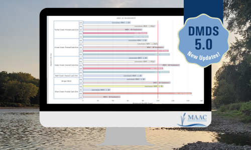
 The DMDS 5.0 is now available! This interactive map has been upgraded so you can easily see the Management Action Projects around the Maumee AOC, plus the sampling data that informs these projects. Since 2015, the DMDS has served as an important tool to view data specific to BUIs, BUI status throughout the AOC, proposed and completed projects, and for related resources.
The DMDS allows users to view data in their browser using map modules, or to download data to make use of it yourself. Using the modules, users can review the status of each BUI for the whole AOC, and also see the status watershed-by-watershed, on a smaller scale.
Any registered user can contribute to the Projects or Resource Library Modules that serves as a repository for information related to the Maumee RAP and Maumee AOC. These resources include documents, reports, GIS data sets, maps, charts, and photos.
You can view the updated DMDS here.